
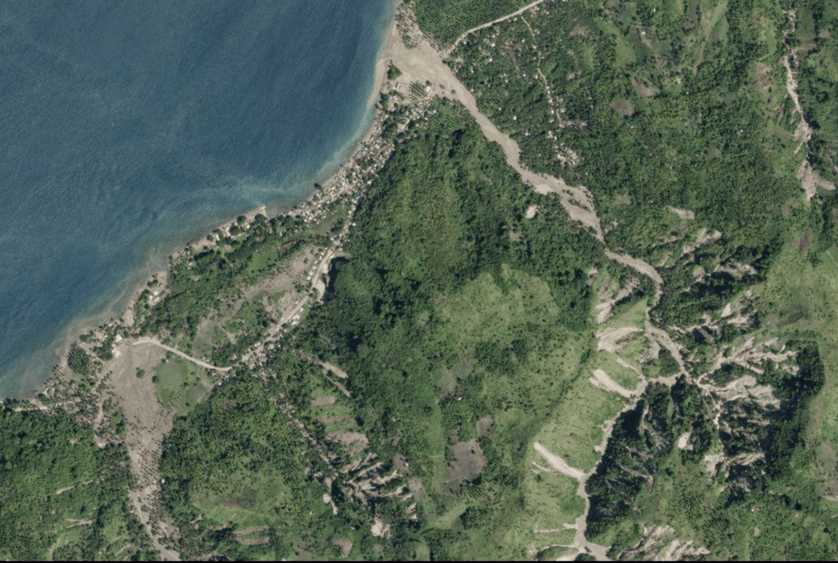
Are you curious about what we can learn about the places we love by looking at them from above?
Join Coastside Land Trust for a free community webinar on Remote Sensing + Imagery in Conservation with Jeff Liedtke of Esri. Discover how satellites, aerial imagery, and drones help conservationists understand coastal landscapes, track habitat change, and better protect the places we care about.
No technical background needed—just curiosity about the world around us!