
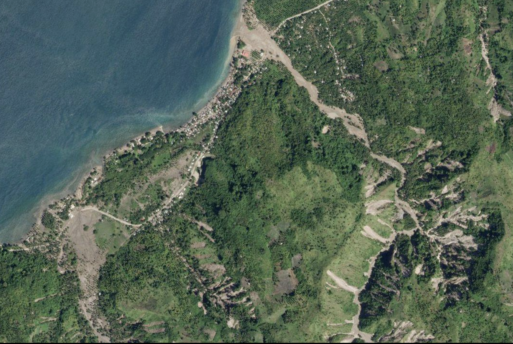
Photo Credit: The Lens
REmote sensing and imagery in conservation
Presented by Jeff LIEDTKE
free community webinar
November 7, 2026
10-11am PST
What can we learn about the places we care about by looking at them from above? Join Coastside Land Trust for an introduction to the fascinating world of remote sensing and imagery—and how these tools are helping conservationists better understand and care for landscapes.
From satellites and aerial imagery to drones and other technologies, remote sensing allows us to observe changes across large areas and over long periods of time, revealing patterns that can be difficult to see from the ground. We’ll explore how these tools can help us understand coastal landscapes, vegetation, erosion, fire recovery, habitat change, and more—and discover what new perspectives this technology can offer conservation work here on the Coastside.
No technical background required—just curiosity about the landscapes we call home!
Jeff Liedtke is a principal product engineer and documentation lead with Esri’s Raster team, where he works with imagery, remote sensing, and image processing technologies. He brings 30 years of experience in applied remote sensing, photogrammetry, and image processing, with a focus on using geospatial technology to better understand our world and support real-world decision-making. Jeff is also the coauthor, with Thomas Humber, of Top 20 Essential Skills for Imagery and Remote Sensing, published by Esri Press in 2026.